How do you build a sustainability action plan?
The City of Detroit poses the following:
The goal of the Sustainability Action Agenda is to strengthen the economic, social, and environmental sustainability of Detroit’s residents, businesses and neighborhoods. The process will establish short term (6-18 months), medium term (18 months – 4 years), and long term (4-8 years) outcomes, goals, actions, and metrics through engagement with the broader community that will guide future government and community actions to improve the quality of life for Detroiters, provide greater economic opportunities, and address climate impacts.
Community engagement will play a foundational role in the creation of a Sustainability Action Agenda for the City of Detroit. Residents, City employees, and organizations all have specific issues, ideas, and even programs that address economic, environmental and equity issues in their neighborhood or organization. Residents are the experts on the issues that occur in their neighborhoods and so to craft an inclusive sustainability vision for the city, we need to fully understand the challenges and opportunities from their perspective.
The Office of Sustainability, in partnership with the consultants to this RFP, intends to engage community residents in multiple ways, through attending existing meetings, holding focus groups on specific areas, 3 using surveys, engaging Detroiters as “ambassadors” within their own neighborhoods, and other creative means to be proposed in responses to this proposal.
Many groups and individuals have addressed sustainability challenges within the city and the Office of Sustainability seeks to build upon that work that has already been done. City of Detroit departments are vital stakeholders to engage as the Office of Sustainability seeks to enable the City to embrace sustainability as a guiding principle.
There are many topics that can be addressed through sustainability planning; this scope of work will seek to explore and prioritize areas using stakeholder input. Most will entail cross-cutting issues such as social equity, job and economic development, and climate mitigation and resilience. Example topics to be addressed could include, but not be limited to: food; transportation and mobility; buildings and homes (energy); air quality; water; and solid waste.
Data supports strategy
In the complexity of a modern city, the prioritization and decision framework for planning decisions is an increasingly difficult landscape to travel. How do we understand the impacts of a single decision on all of the various stakeholders? How can you communicate to the larger community that all viewpoints are being considered, that bias is not driving development, that all voices are heard?
One way to ensure that decisions have the highest impact and that stakeholders have adequate voice is with the use of data. Public data is a community resource which is generated and provided by city governments, crowd-sourced from constituents and augmented by the resources of local and national partners. Using the potential of connected devices to harvest data and engage stakeholders passively in their public-spatial environments is a powerful way to collect and track the interactions of a community with the resources of local government. It also provides a way for the public to hold government accountable for the needs and requirements of everyday people.
The following examples harness currently available datasets which demonstrate the complex relationships and potential of data to address the challenges of city re-development. Understanding the current accomplishments of the city and visualizing their impact on the current citizenry is a first step towards identifying gaps, opportunities and compromises which can help guide the equitable development of a sustainable Detroit.
The next sections display the currently available datasets on initiatives which have defined the current revitalization and sustainable efforts. The first step is to map this data and visualize the results in an interactive experience which allows anyone to overlay the information with their own personal understanding of the context and surroundings of the city. Are bike-lanes equitably distributed? Does public transit serve the needs of all neighborhoods? Do city bike supplies match current needs?
Census block groups for the City of Detroit provide a stable and granular population backdrop for comparing how the various data layers affect the existing communities and neighborhoods of the city.
Public transit initiatives
Public transit is a significant community investment which has direct impact on the day-to-day lives of citizens, as well as providing a significant stimulus to the (re)development of neighborhoods and communities. The major accomplishments of Detroit in rebuilding and augmenting the features of the downtown area are a testament to the capacity for transformation with thoughtful and considered investment. How do these initiatives translate and expand to the entire City and Metro areas?


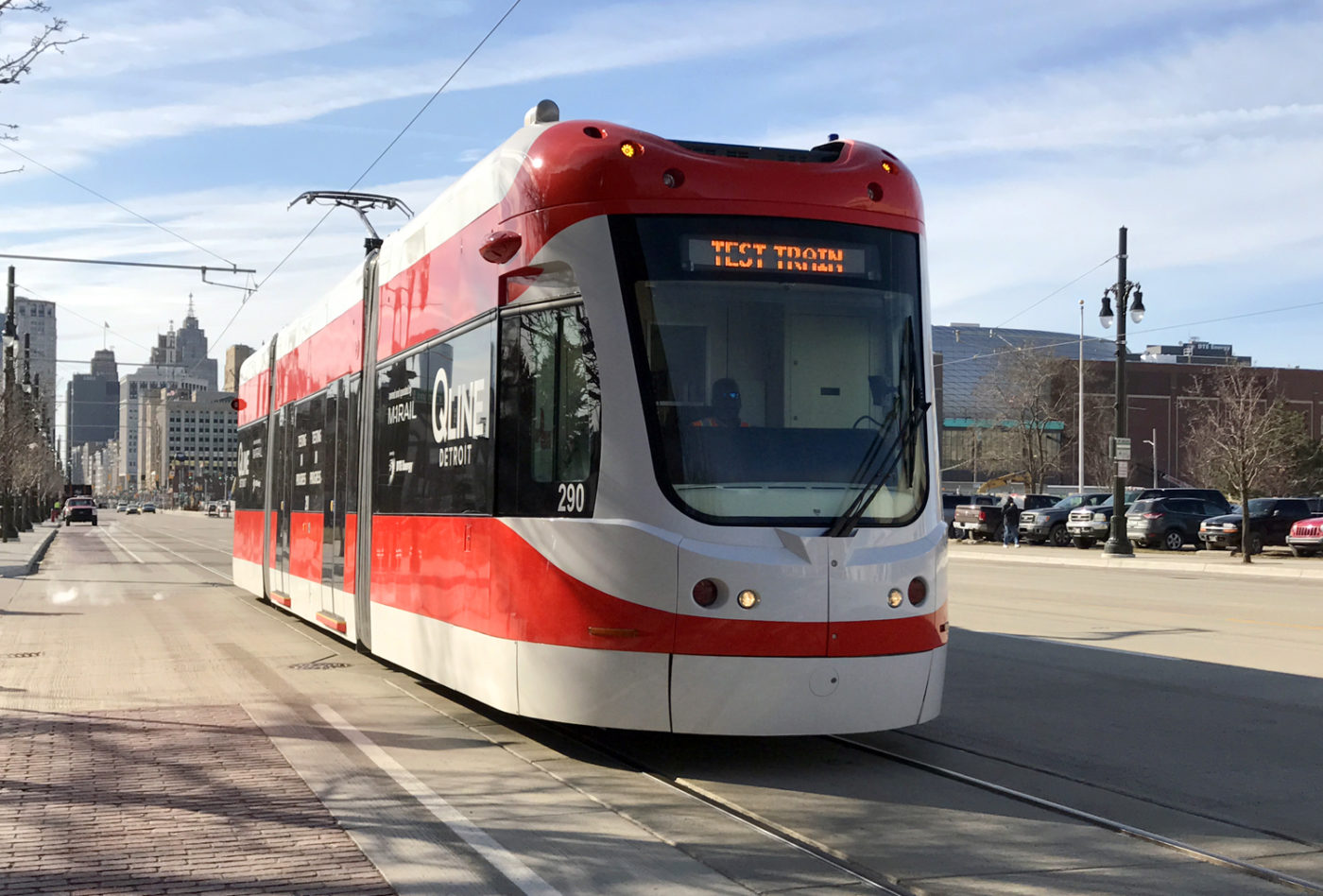
- Opening of first new street car in 50 years (the Q Line)
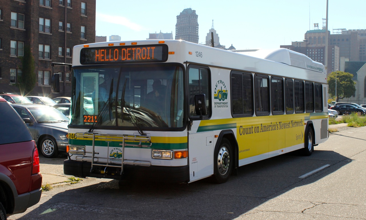
- Expansion of the DDOT bus fleet with hybrid buses
- Launch of the Mo-Go bike share program
Site-based sustainability concerns
As Detroit ramps up it’s demolition and repurposing efforts, understanding how the changing topography and site infrastructure of the city affects each region and neighborhood. Brownfield sites, demolition pipeline and historic significance can be correlated to the demographic make-up of block groups as well as the impact on stormwater run-off and sewer infrastructure. The current levels of data provide a valuable starting point to understand the impacts of the past several years of investment, development and remediation.
- Commitment of $3 million/year to green stormwater infrastructure
- Adoption of "green demolition" standards and demolition of more than 11,000 abandoned structures
City streetlamp conversion project
There are few things as evocative to the human spirit as the concept of “light.” From religion to mythology the concept represents the direct translation of truth, justice and equality. The replacement and retrofit of the city’s failing streetlight infrastructure with a new LED system of lights is a “shining” example of the newfound investment in the region. Providing a system for maintaining and ensuring that the system is maintained is an example of the new potential of a data-driven strategic framework for the city. The street light data in the following map is entirely simulated, but provides an example of how a tracking, reporting and accountability framework supported by 2-way engagement between city government and citizens can ensure that the lights of Detroit “stay on.”
- Converting 65,000 streetlights to LEDs, creating the largest, city-owned LED streetlight network in the US
Sources:
- Streetlamp data simulated
- Demographic Data


